
High-Altitude Telemetry
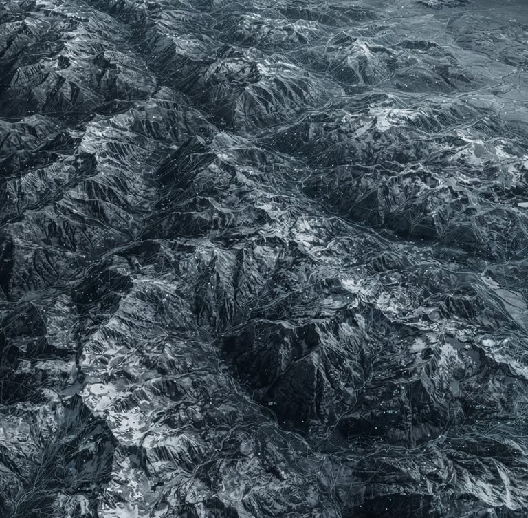
Precision tracking of physical and quantum anomalies within the Rocky Mountain sector is paramount. Zero-telemetry integrity ensures absolute containment and sovereign regulatory immunity for all geographic oversight frameworks.
Anomaly Resolution Sequence
Detection Phase
Quantum Analysis
Containment Protocol
High-altitude sensors actively identify deviations from established quantum variance baselines, flagging potential sector anomalies.
Multi-disciplinary PhD operatives conduct rigorous quantum-physical analysis of anomaly signatures to assess structural integrity and potential vectors.
Azure Stag protocols automatically initiate containment. This ensures regulatory immunity and absolute data isolation within the affected geographic oversight frameworks.
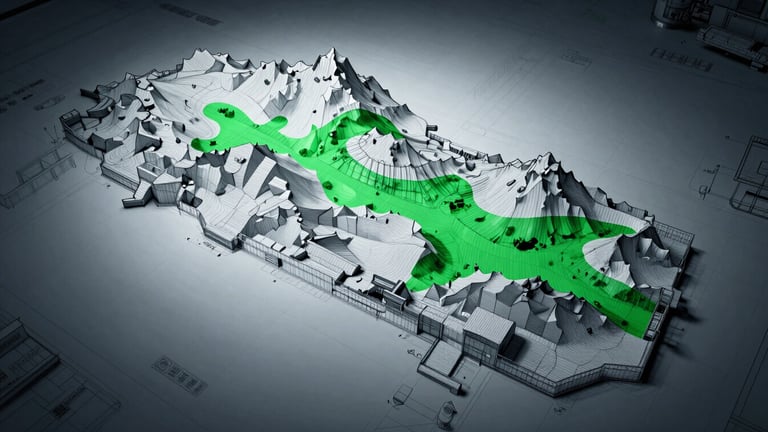
Wireframe projection of the Rocky Mountain sector, highlighting active quantum anomaly zones under Section OMEGA jurisdiction.
Validate OMEGA Clearance
Access to critical sector telemetry requires OMEGA-level cryptographic validation. Initiate secure handshake protocols only with authorized credentials to maintain absolute data isolation.
Central United Federation
© 2026 Central United Federation-All rights reserved without prejudice. Zero telemetry collected.
SECTION OMEGA COMPLIANT